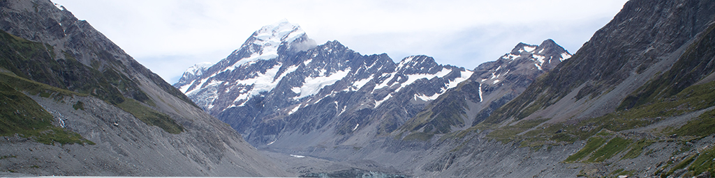
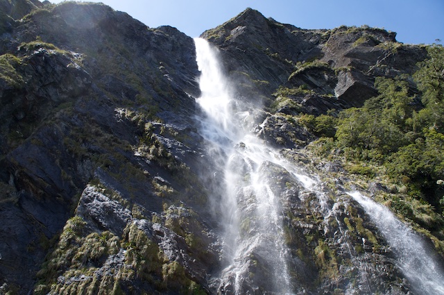
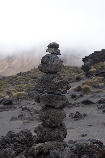
We broke up our climbing trip with a lot of walking. And to be fair, a lot of it was scoping out access to crags, but some of it (like the title shot above - The head of the Tasman Glacier in Aoraki-Mt. Cook National Park) was just very nice walking.
This is a short visual tour of the three (OK, 2.5) “Great Walks” we did on our trip. Short because my camera didn’t come out much.
Kepler Track
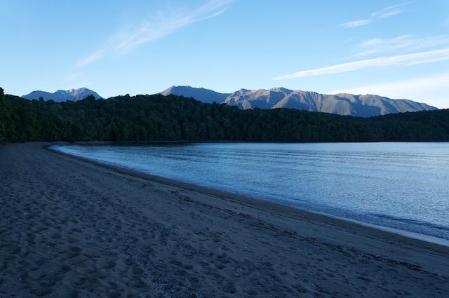
The Kepler Track starts just South of the village of Te Anau and on the shores of Lake Te Anau, in Fiordland National Park. A flat lakeside walk at the beginning and end very much broken up by a mountain pass in the middle. About 60km long the walk is usually done in 3 or 4 days. We’d planned 3 days, with the first day starting around 4pm.
I spent most of my time in Te Anau wondering how on earth to pronounce it. It’s tea an-now.
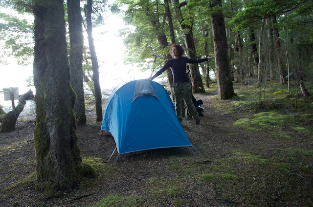
The first day for us was 17km into Brod Bay - It was originally going to be about 5km, but we had a tip at the DOC office that we could drive into the track further south to make the first day less silly (and, more importantly, knock the last day down from a worrying 30km). An easy and beautiful walk through Beech Forest on the side of the lake had us into Brod Bay shortly before sunset to set up camp and feast by the side of the lake, while sandflies feasted upon us.
During the evening we started wondering at the idea of finishing the Kepler Track early so we’d have an additional day to attempt the Routeburn Track - Camping sites on the Routeburn had booked out for the duration of our visit so we couldn’t do the full track, but an extra day would give us room to walk in for half a day and then walk out the same way.
I thought walking 45km with packs, including crossing a mountain pass, seemed like a ludicrous idea - But the consequences were insignificant so we may as well give it a shot.
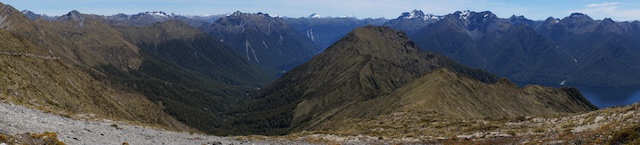
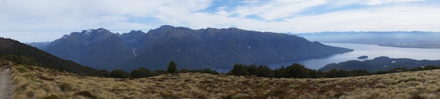
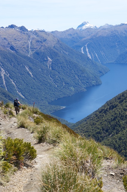
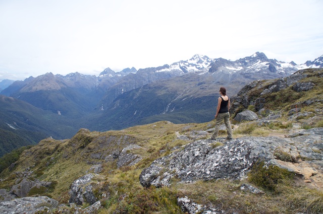
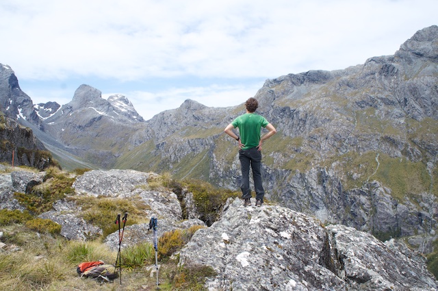
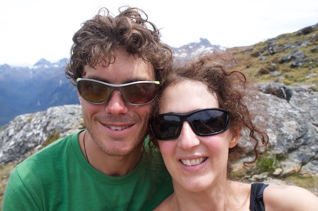
The next day started and we were still enthusiastic, so off we set. The next three photos are from the walk up Luxmore Pass, unfortunately the camera didn’t come out for the remainder of the trip. But we did it, almost crawling back to the car at 9.30 that night.
After hobbling back to the car we started driving toward Milford Sound and a campsite nearer the start of the Routeburn Track, both feeling like we’d awake too exhausted to attempt the Routeburn the next morning, but neither willing to admit it.
Routeburn Track
We awoke feeling surprisingly well and so, after a big breakfast and several coffees, made our way to the start of the Routeburn Track. Routeburn is a 30km end-to-end walk, so we were hoping to walk in from the Western (Fiordland) end to about the halfway point and then turn around, returning to the car that evening.
The walk started very steeply, rising high above the surrounding landscape but remaining a little below the tree line until shortly before our turnaround point.
With legs more tired than usual, we decided to stop for morning tea at a slightly wide and only slightly muddy section of track. Less than two minutes after we started walking again we came upon a large, open rocky area where dozens of people had stopped to rest and take in the scenery.
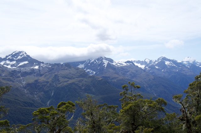
We stopped for lunch at the second hut on the track, checking the weather forecast and deciding on a plan while we were there. The main range of Routeburn lay just ahead of us, so we agreed to continue walking for about an hour in the hope that we’d approach the top of the Burn and be rewarded with sweeping views of the surrounding ranges.
Mere minutes after our agreed turnaround time we made it to the top of the range - Which, it turned out, was more or less the exact halfway point of the track.
By the time we returned to the car we were both very tired (again), and thankful that the next two days were scheduled to be very decadent, with an overnight cruise on Doubtful Sound being the only item on the agenda for tomorrow.
Tongariro Northern Circuit
The penultimate destination for our trip - prior to a couple of days climbing at Whanganui Bay - was a flight into Auckland and quite a long drive down to Tongariro National Park.
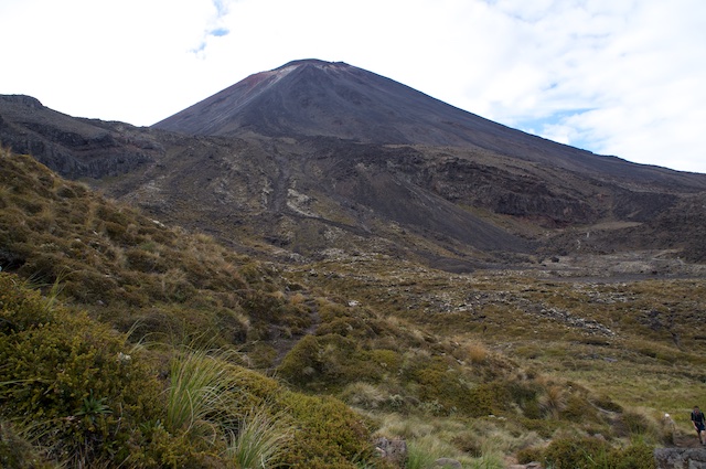
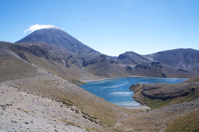
The Northern Circuit is a loop stretching a little over 60km, normally done in four days and including the Tongariro Crossing, a popular day walk passing “Mt. Doom” (Mt. Ngauruhoe in real life) and some astonishing-coloured volcanic lakes (no photos of those because it was raining when we passed them).
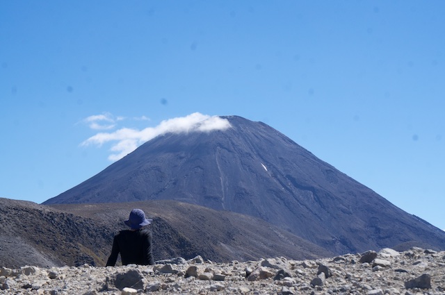
The landscape through the crossing was very alien and barren, and the very steep Mt. Ngauruhoe nothing but a deep pile of very loose shale and various-sized rocks.
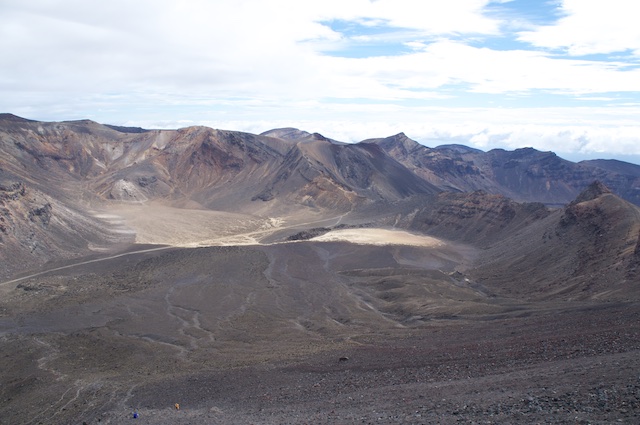
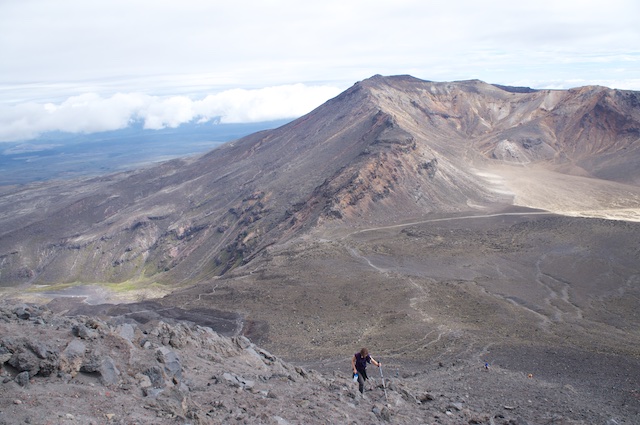
Heavy cloud cover rolled in on our way up Ngauruhoe and settled in for the day - We were soon facing strong alpine winds, rain and extremely low visibility - And so the only subsequent photos we got of or from Ngauruhoe were from the other side of the mountain at the end of the circuit.